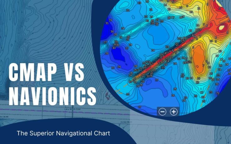
Tired of having to decide between CMap and Navionics? You must be here to table that discussion once and for all.
So, which one’s better, CMap vs Navionics?
When it comes to beginner friendliness, Navionics is better. CMap on the other hand has a lot of options to choose from.
Custom depth shading and bathymetric imagery are just some of them. And with Navionics, you can see all the fish hot spots.
There’re details on the differences between CMap and Navionics further down the article.
Interested in learning about them? Just keep on reading!
CMap Vs. Navionics- Notable Differences
These two navigational charts have some key differences that you can identify at a glance. Let’s see them before you get into the detail-
| CMap | Navionics |
| Perfect for professionals | Perfect for beginners |
| Suitable for anglers and divers | Not suitable for divers |
| Greater chart options | Fewer chart options |
| Special feature shows the whole sea bed | Special feature shows hot spots for fishing |
CMap Vs. Navionics- In-Depth Discussion
CMap by Lowrance and Navionics by Garmin are both great hydrographic charts. You have already seen their notable differences, let’s give you more insight into their differences.
People who research on CMap and Navionics also look into Lowrance and Simrad. So, you can check them out if you want.
Without any further ado, let’s dive right in-
Beginner Friendliness
Let’s start off by discussing which one’s better for beginners. The interface of CMap is slightly complicated and it can be hard for a beginner to comprehend.
It’s however perfect for a pro. All those ranges of options are perfect for any advanced navigational chart user.
There are too many chart options under ‘main’ along with some advanced options. A beginner user will not understand all that right off the bat.
Navionics doesn’t have these problems like CMap. They have a pretty clean and easy-to-understand interface. This makes Navionics perfect for beginners.
So, in terms of beginner friendliness, Navionics takes the deal.
All The Features
We’ll go over all the features of both brands here individually. And at the end of this section, we’ll choose the winner of this section. Let’s get to it then-
CMap
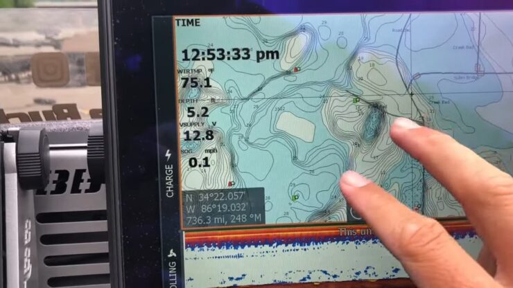
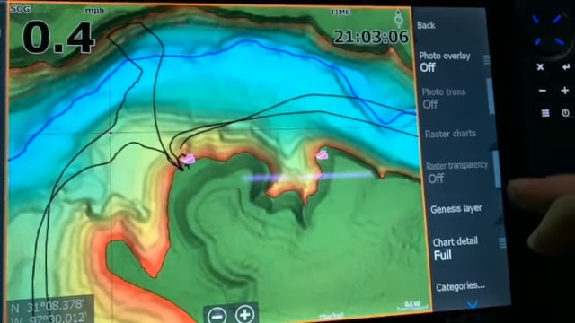
Infos of both coastal areas and inland can be found on CMap. It pretty much covers the whole world, but it emphasizes the major fishing locations.
We’ve already mentioned before that CMap has a lot of options. If you want the basic version, you have Max charts.
But, if you want some advanced stuff, you can get MaxN and MaxN+.
MaxN+ plus is basically everything that MaxN is, but a little more. One of those additional features is CMap Reval.
It’s a special feature that we’ll go into in a later section.
Freshwater anglers can find continental charts here on Cmap. It has great coverage and shows you a very detailed view of everything.
Things like custom depth shading, bathymetric imagery, 3D, and satellite view are great for saltwater anglers. The local and wide charts available for saltwater anglers are very detailed.
There’s a small kicker here though. Some have complained about the 3D structure scan of Lowrance.
Another cool feature is the CMap genesis. This feature lets you create your own map. You can even add data to the cloud for other users. And in return, you’ll be able to see the data added by other users.
You can say that CMap is slightly USA-biased. The Precision Contour HD chart and Lake Insight HD are available only inside the USA.
Navionics
Just like Cmap, Navionics cover the whole world as well. But, in terms of options, Navionics has a lot less compared to Cmap. Don’t be fooled by that though, Navionics still has a lot to offer. After all, Garmin uses Navteq for map data.
They have only two versions for you to choose from. They’re Platinum+ and Navionics+.
You’ll find the chart customization on Navionics to be very helpful. This feature will help you avoid shallow areas where your boat can get stuck.
There’s a map-creating option called SonarChart live. And just like CMap, you’ll be able to upload your data here. Also, you’ll find data added by other people there on community edits.
If you upgrade, you’ll be able to use other features like panoramic photos, 3D, and SonarChart Shading.
Navionics also has a special feature called Fish Attractors, about which we’ll talk later.
Winner Of This Section
The winner here will be CMap. The range of chart options they provide is unparalleled.
Special Feature
The CMap reveal lets you see everything to the bottom of the sea. Starting from reefs to ledges and holes as well.
Since you can see tides and marine parks, it’s perfect for both divers and anglers.
The special feature of Navionics is called Fish Attractors. You can find over ten thousand sunken structures full of fish. So, it’s perfect for Anglers who often visit unknown locations.
As an angler, you should check out which one suits better in those structures. It could be a lever drag or a star drag reel.
Final Verdict
In the end, our winner is CMap. Don’t think any less of Navionics though. CMap has a lot of extra features which is great for both anglers and divers alike. The amount of detail they provide is absolutely amazing.
But, if you’re a beginner angler, we’d suggest you go with Navionics. It’s simpler to understand and you won’t have a hard time navigating.
FAQs
Can I use them on my phone?
They’re both available on both iOS and Android. But, CMap shows fewer details on the phone app.
Do they give free updates?
Navionics gives you free updates for a year. But, if you use CMap, you’ll have to buy all the updates.
Does Navionics work offline?
Yes, Navionics can work offline, but the extent of its offline functionality depends on the specific product and features you have purchased.
Some Navionics products, such as the Navionics Boating app, allow you to download and store maps and charts on your device for offline use. This means that you can use the maps and charts without an internet connection.
However, some advanced features and real-time updates may require an internet connection. It’s important to check the specifications and features of your Navionics product to determine its offline capabilities.
If you’re planning to use Navionics while boating or traveling in areas without internet access, I recommend checking to make sure that the maps and charts you need are available for offline use and that your device has enough storage to store them.
Does CMAP work offline?
Whether or not C-MAP works offline depends on the specific product and features you have purchased.
Some C-MAP products, such as C-MAP Genesis, allow you to download and store maps and charts on your device for offline use. This means that you can use the maps and charts without an internet connection.
However, other C-MAP products, such as C-MAP Reveal, require an internet connection to access the most up-to-date maps and charts. These products may also offer limited offline functionality.
It’s important to check the specifications and features of your C-MAP product to determine its offline capabilities. If you have any questions or concerns, I recommend reaching out to C-MAP support for further assistance.
Is Navionics tool free?
Navionics is a paid navigation software for marine and outdoor use.
Some Navionics products, such as Navionics Boating, are available as a one-time purchase with free updates for a specified period of time.
Others, such as Navionics+ and Navionics Platinum, require an annual subscription fee for access to updated charts and maps.
Is CMAP tool free?
C-MAP, or Chartplotter Marine & Outdoor, is not a free tool. It is a paid navigation software for marine and outdoor use. The cost of C-MAP can vary depending on the specific product and features you choose.
There are different levels of products and features available, ranging from basic chartplotting capabilities to advanced mapping and navigation features.
In addition to the upfront cost of purchasing the software, some C-MAP products also require an annual subscription fee for access to updated charts and maps.
The cost of these subscriptions can also vary depending on the level of features and coverage you need.
If you’re interested in purchasing C-MAP, I recommend checking the C-MAP website or reaching out to a C-MAP representative for more information on the costs and features of their products.
Conclusion
That was all about the debate between CMap vs. Navionics. We hope we were able to help you pick one.
If you have any more questions, let us know in the comments.
I’m Liam Jackson, the proud owner and driving force behind KayakPaddling.net. Born somewhere in the expansive beauty of the United States, I’ve nurtured a lifelong passion for kayaking and fishing that has led me to explore the far corners of our nation’s waterways.