Modern technology has taken a lot of the guesswork out of finding fish, knowing what kind of bottom is under you and how far. SONAR and GPS units are almost a necessity for navigating large bodies of water these days.
They work great, but there is a learning curve involved. Depending on the unit, interpretation can be tricky.
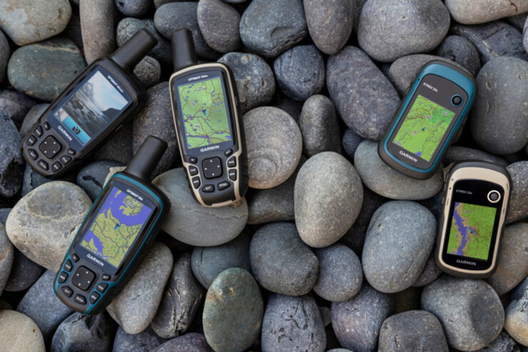
GPS Units, on the other hand, tell you exactly where you are, anywhere on the Earth’s surface, with a few feet. They operate from satellites in fixed orbits. There is no question about your location, and some units will even give you turn-by-turn directions to where you want to go, and back again.
Using SONAR To Find Fish
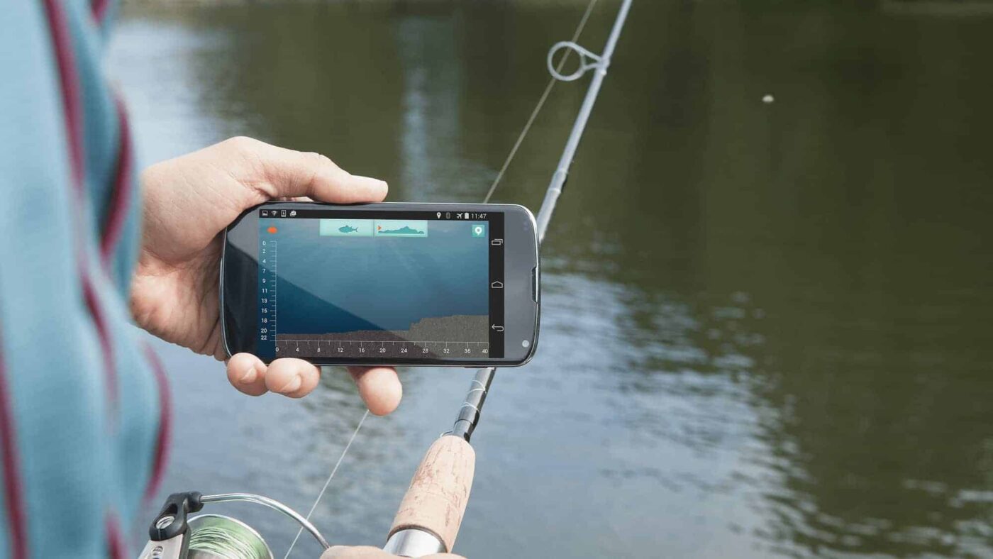
Things have come a long way from the days of sail when a crewman would toss a lead-weighted line over the side to measure the water depth. SONAR (Sound Navigation And Ranging) technology, previously available mainly to military and commercial concerns, has developed into a large range of useful products for fishermen.
Nowadays, there are both digital and analog readouts for depth sounders, fish finders, forward and side-looking sonar, and even searchlight sonar equipment. The costs range from modest to astronomical, depending on what you get.
The challenge is to select a unit that will provide you with the features you need, without mortgaging the house.
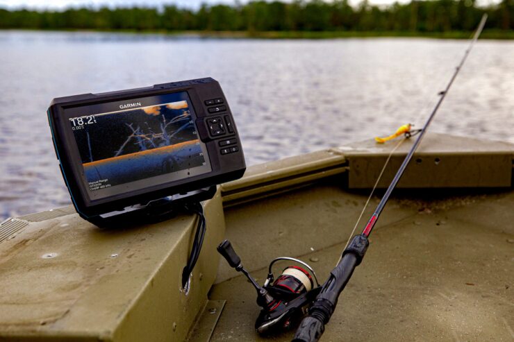
All sonar units work basically the same way.
An electronic signal generator creates a sound wave at a given frequency. This is sent through an amplifier to refine it, then to a transducer. The transducer sends out the sound wave, and also ‘listens’ for the return echo when the wave bounces off of something.
This is sent through discriminator circuitry to ‘screen’ out extraneous noises, then to a CRT screen that interprets the data and renders it into a graphic readout that you can understand (sort of).
And the neat thing is that all of this can be housed in a package no bigger than a flashlight, and some no bigger than a cigarette pack. Most consumer (nonpro) units are good to a depth of around 250 feet.
Now for the differences. Most units operate at frequencies between 25-400KHZ. Here is the kicker. The higher the frequency, the more detail you can get. The lower the frequency, the more range you get.
So whatever frequency your unit has, it is a compromise between the two. Some of the more expensive units can operate on two frequencies. One low search band for wide-ranging, and a high search band to ‘zero’ in on a particular contact.
There are three main types of mounting for these units.
There are those that mount Through-The-Hull, those that mount on the transom, and Hand-Held units. Each has advantages and disadvantages.
The Through-The-Hull unit is permanently mounted, so it’s easier to operate and maintain, but harder to replace.
The transom-mount simply clamps to the side of your boat and can be easily moved from one boat to another, or even a dock if desired. But it can also be knocked loose and go overboard, or be damaged while moving the boat.
The Hand-Held units are my favorite because they can be used in a kayak, canoe, float tubes, docks, piers, and even through the ice. The disadvantage is that they are so small they can be lost easily. They can also be dropped overboard.
Mostly what you are getting for more money is a nicer, full-color display, and a few extra features.
For fishing, a SONAR unit can be almost indispensable.
I would definitely recommend getting one if you are serious about catching fish. Look around for one that has just the features you need, the price you can comfortably afford, and you will be well on your way to filling stringer after stringer with nice fish.
GPS Units
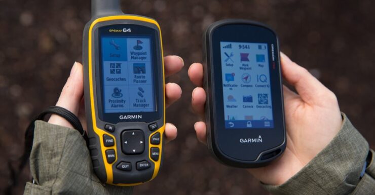
This is a subject that could fill a book by itself, but I am going to try to keep it as basic as possible. You don’t need to know much theory to be able to work on one of these. After all, most people that drive cars have no idea what really happens in the engine, right…?
The Global Positioning System (GPS) is a worldwide network of 24 satellites that are used by triangulation to determine the location of any point on the planet, accurate within a few yards. It was developed for the military initially, both for navigation and targeting purposes.
Nevertheless, like the Internet, it has evolved into a major asset for the world at large. GPS units are in airliners, boats, cars, and even hand-held units. GPS units can track a cell phone or a vehicle with a transponder in it. They have completely revolutionized navigation.
GPS units are not the complete answer to your navigational problems, nor are they just an expensive ‘toy‘ for the trendy. They are actually something in-between.
A GPS unit can:
- Give you your exact location on the planet in latitude and longitude, regardless of the weather, or whether you know your location or not.
- Mark where you parked your car, so you know which direction it is at all times.
- Mark locations along your route as ‘waypoints’, sort of like leaving a trail of breadcrumbs behind.
- Determine the distance and direction from your location to another specified location.
- Track your route so you can backtrack it if necessary.
- Show you the distance and direction back to your starting point.
- Read your altitude, and track your elevation history.
- Be used as a digital compass.
Here’s what a GPS unit won’t do:
- Work well in or near buildings, under trees, or heavy cover.
- You still need to have and be able to use a map and regular compass, because sometimes GPS units malfunction.
- GPS units go through batteries like water cups at a Chili Cook-Off.
- When GPS units give you direction and distance, it is ‘as the crow flies, and doesn’t tell you if there is a tree, mountain, canyon orlake between you and the destination. You need a map.
The Learning Curve of GPS Units
There is a learning curve involved in GPS usage.
You need to practice with your GPS at home before trying it out on the water. When you first turn on your unit, it will most likely need to be calibrated. Follow the instructions that came with the unit for this.
The next thing it will do is search for its location. You will probably see a screen similar to a cell phone when it is searching for a signal. It will tell you how many satellites it is communicating with. You need 3-4 out of the 24 to get an accurate fix. Most units will have a “Quick Start” guide with them. I would recommend using it.
The first skills you need to master are:
- How to set a Waypoint of your current locat/on;
- How to enter coordinates of a different location from a map or other reference source
- How to determine directions from your location to another waypoint
- How to use the built-in altimeter and compass
- How to replace the batteries.
All of this is in the instructions that came with your unit. Read them as often as necessary, and keep them with the unit at all times. Always carry lots of extra batteries.
Once you master these skills, you will be able to use SONAR to pinpoint the location of schools of fish whenever you want and even trace their migration routes from season to season with GPS.
In addition, on large lakes, you may be out of sight of land, and a GPS will be very handy to get you home safely.
Rather than ‘cheating’, using SONAR and GPS is simply using new tools.
After all, at one time we rode horses, now we use cars. Is that cheating?
Adelaide Gentry, a seasoned kayaking enthusiast and expert, is the driving force behind KayakPaddling.net. With over a decade of experience navigating the world’s most challenging waterways, Adelaide combines her passion for adventure with a deep knowledge of kayaking to provide insightful and practical guidance for paddlers of all levels.